The Twisted Sisters of the Texas Hill Country
Greetings from Texas again everyone! When I submitted my first route here a few years ago, I fully intended to keep them coming but, as most of you know, life sometimes gets in the way. For me part of that “in the way” stuff has been buying a new house, dodging a wildfire that destroyed 225 homes all around the one we just bought and 7 grandkids+2 great grandkids; need I say more?
Enough about that; I felt motivated over the last couple of weeks to go through and look at the routes submitted thus far here on Twistypedia. It appears California riders lead the way with all their great choices of roads to enjoy. I also noticed my submission “Dalhart to DFW it doesn’t have to be boring” was/is the only submission from Texas. Hopefully the “Twisted Sisters” will be only the beginning of many more great rides in Texas and a few other places I have been over the years since I began riding again in April of 2000 after a 20-year hiatus.
The Twisted Sisters (situated about an hour NW of San Antonio) are Farm to Market (FM) roads 335, 336, and 337 but not necessarily in that order. In fact, the most commonly thought of start to the “loop” of these roads is where FM337 intersects with FM16 in Medina, Tx. That’s where you head west on FM337 toward Camp Wood and the end of 337. There aren’t many towns along this 36-mile stretch of the road but there are two notable places to see in addition to the scenery. The first is about 4.5 miles north of Vanderpool on TX SR187 where you will find the Lone Star Motorcycle Museum featuring some refreshments (cold drinks, ice cream and chips) and several beautiful old bikes. Continuing west on 337 after visiting the museum, the next town of Leaky (pronounced Lakey by the locals) features the Frio Canyon Motorcycle Stop. They have a gift shop, some old biker memorabilia, and the Bent Rim Grill with some of the best Angus burgers you will find anywhere.
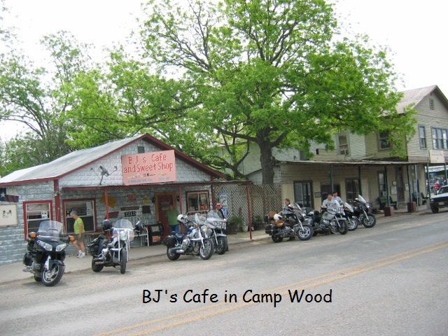
After what is usually a much needed rest stop in Leaky, 337 goes on to Camp Wood where it ends. There are a couple of small cafés in Camp Wood if you did not eat in Leaky. BJs Café & Sweets Shop is one of them that everyone in our group thoroughly enjoyed on one trip in 2007. To get to the next phase of the sisters, you will head north on TX SR55 for 4.5 miles where you need to veer slightly to the right on FM335. This road crosses pretty much open land and you may encounter a cattle guard or two along with open range and possibly longhorn cattle and a few other critters. 335 continues almost due north for about 30 miles until it intersects with SR41.
To get to the third and final leg of the sisters, you travel east on 41 for approximately 14 miles where the north end of 336 begins and takes you back into Leaky some 26 miles to the south. This part of the loop definitely has cattle guards and open range land, so be very careful of large, sometimes cranky animals on the road.
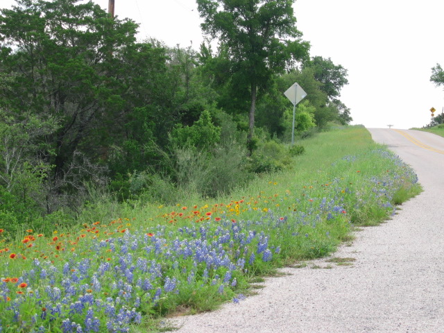
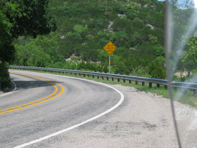
That’s approximately 133 miles of twists, turns, switch backs and hills that will make you think you are riding through the mountains of Colorado, but you know better because you are in the midst of quite possibly the best motorcycle roads in Texas. The best times of the year to ride in this area are: spring (March through May) and fall (October through November). There are rarely freezing temperatures on the sisters, but if you go during winter months, it would be wise to check with local businesses and chambers of commerce or weather websites before setting out. Summer in the area can be unbearably hot; avoiding June through September is best. For the photography buffs the best time of year is the 10th through 20th of April as that is when the bluebonnets are typically in full bloom. During years of a bumper crop, one can witness huge fields of cactus, yucca and mesquite completely surrounded by a solid blanket of bright purple. Enjoy and keep in mind, the Twisted Sisters are a very small portion of the thousands of miles of fun roads in Texas from the ~800 miles east to west and ~800 miles north to south!


OK, I tried to edit the map above to make a route correction but something went terribly wrong Any way the old map showed the east side north-south route following US83 when it should have been on FM336. Since I could not get the proper syntax to modify the Google map as before, I did a screen shot of the map here.
Thanks for the update Cruisin!